Getting around in Blagoevgrad
Public transport
Bus Lines and Timetables
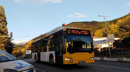
Blagoevgrad has a well-developed public transport network with 7 main bus lines. At every bus stop, there is (or should be) a map of the bus routes and a timetable.
By scanning the QR code at the stop with your smartphone and connecting to the internet, you can instantly access the live bus schedule for that location.
Click here to view the full bus timetables.
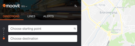
Looking for the easiest way to get around Blagoevgrad? Moovit is a great tool that helps you plan your route from one location to another. Just enter an address or click on a point on the map. Click here to access Moovit
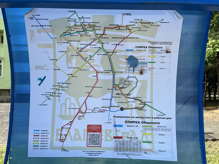
All Bus Lines in Blagoevgrad
You can find all bus routes and their corresponding stops in the Moovit app.
Bus Lines:
-
Line 1 (blue on the map) – connects the Alen Mak neighborhood (Line 1A and Izgrev village) and Riltsi village with the city center.
-
Line 2 (red on the map) – connects the Sturmisko and Elenovo neighborhoods with the city center.
-
Line 3 (light green on the map) – connects Pokrovnik village and Bachinovo Park with the city center.
-
Line 5 (yellow on the map) – connects the Elenovo and Gramada neighborhoods and the city hospital with the city center.
-
Line 7 (dark green on the map) – connects Elenovo village, Elenovo neighborhood, and Osvobozhdenie neighborhood with the city center.
-
Line 10 (pink on the map) – connects the stadium, Sturmisko, and Elenovo neighborhoods with the city center.
-
Line 12 (black on the map) – connects Bachinovo Park and the Gramada neighborhood with the city center.
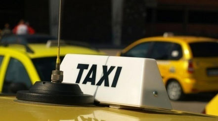
Taxi Services in Blagoevgrad
There are several taxi companies operating in Blagoevgrad. Here are a few of them:
- Okay Taxi Blagoevgrad – Tel: 073 88 21 21 Link
- Den i Nosht (Day and Night) – Tel: 073 83 22 23
- Mega Lux – Tel: 0896 86 22 22
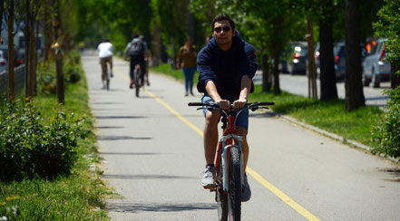
Blagoevgrad has several designated bike lanes throughout the city. You can view a
bike lane map here.
Also, check out our recommended cycling route in the city.